You don’t need a massive area to get started
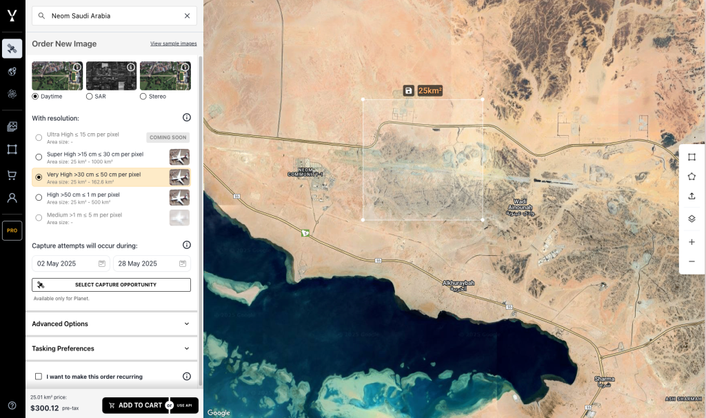
The minimum satellite tasking size you can request on SkyFi is just 25 square kilometers. This low threshold allows individuals, researchers, and organizations to capture imagery without needing to commit to large areas or high costs. Whether you’re monitoring a small farm, a construction site, or part of a city, this minimum area is often enough.
You can request archive imagery or place a new tasking order for this minimum size directly through the SkyFi app. There’s no subscription required, and pricing is clear upfront.
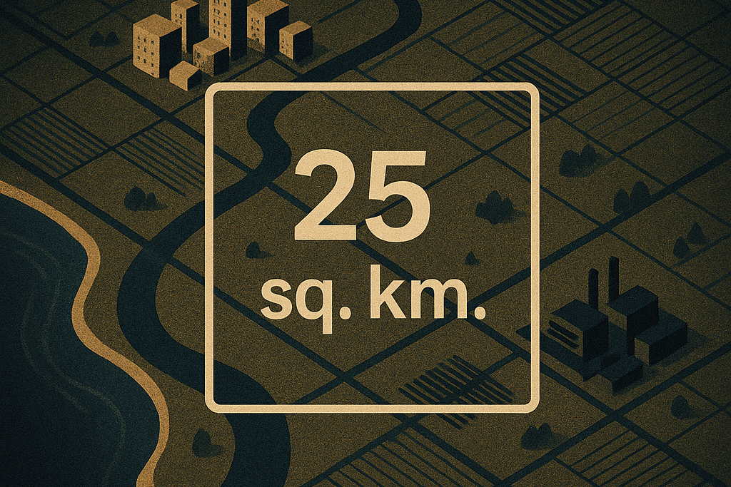
What does 25 square kilometers look like?

A 25 km² area is roughly equivalent to:
- A mid-sized city
- A section of a transportation corridor
- A coastal zone
- A medium farm or industrial site
This tasking size supports a variety of focused use cases. The flexibility helps users start small and scale only when needed.
Minimum Satellite Tasking Size Pricing Breakdown
The starting price for a 25 square kilometer tasking request is $200. Pricing is based on:
- Area size
- Image resolution
- Sensor type (e.g., optical or radar)
You’ll see the exact cost before you confirm the order. There are no hidden fees, contracts, or required subscriptions.
Factors That Affect Minimum Satellite Tasking Costs
Your total cost depends on:
- Resolution: Higher resolution imagery is more expensive
- Sensor Type: Optical is standard, but radar and other sensors are available
- Area Size: The more square kilometers you task, the higher the cost
You’ll see the exact cost in the SkyFi app before submitting your order.
Why the Minimum Satellite Tasking Size Is 25 km²
The 25 km² minimum satellite tasking size was chosen to balance affordability and practical coverage. It allows for highly targeted imagery collection while keeping the process simple. Whether you’re tasking a satellite for the first time or placing a repeat order, starting small is easy.
When the Minimum Tasking Area Is Enough
For many use cases, 25 km² is more than enough. Examples include:
- Single project monitoring
- Academic or field research
- Small site verification
- Local land use change detection
It’s also a good entry point if you’re new to satellite imagery.